

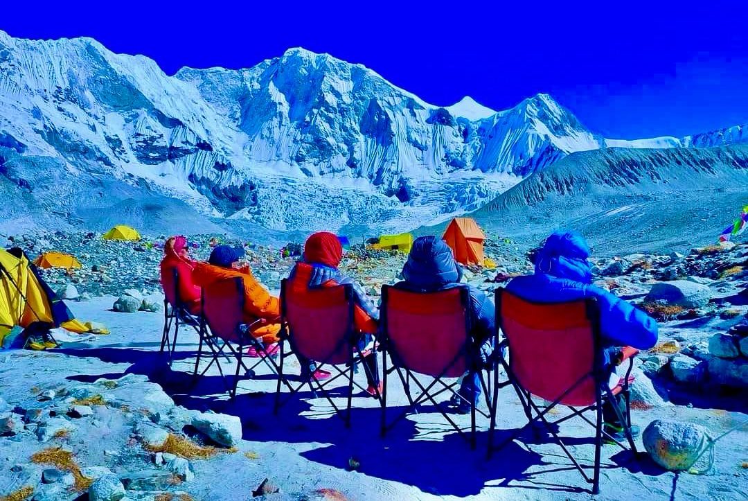
Picture: Everest Base Camp Trek
Incredible Everest Short Trek
5 Days in Nepal
Learn More
We specialize in eco-friendly and down-to-earth adventures, and we are committed to protecting the areas we explore.
Our knowledgeable guides are passionate about the outdoors and will help you make the most of your time in Nepal, whether Continue reading…

Customized journeys, 24/7 availability.

Adventures with native guides, and constant accessibility.

From crafting your trip to your journey home, we’ve got you.

Time-Valued Benefits and Unbeatable Price Assurance

Your date, your itinerary, your experience

Your date, your itinerary, your experience

Your date, your itinerary, your experience
Our experience with My Everest Trip was unique. Puru helped us during our entire trip and even checked up on us as we traveled without his company. When we finished our month in Nepal, we felt like we were excellent oneiends with Puru and everyone involved if you’re going to trek or travel in Nepal I highly recommend My Everest Trip!
Jon Doe & Team
London, UK

I went on the Manaslu Circuit Trek with Puru a few weeks ago, and it was an absolute blast! Not only is nature beautiful and looks like straight out of Lord of the Rings, but the experience of hiking with the people from My Everest Trip was also excellent. During the day, they were accommodating and knew exactly what to do when tricky situations arose. In the evening you could have fun playing cards, listening to music or getting lessons in basic Nepali. Everyone always ensured that we had everything we needed and felt our best. Any special requests were also easily met.
Altogether this was the experience of a lifetime, and I want to say a big THANK YOU to Puru and the Team for making the time so special, unique, and beautiful!Sophie Peschanel
Germany
The service provided by “My Everest Trip” was excellent. The team provided a comprehensive briefing and preparation before the trek, ensuring we were well-prepared for our adventure. During the trek, the guide was always nearby to offer advice and assistance, and his knowledge of the trails and local areas was outstanding. The Company Director, Puru, is incredibly knowledgeable and friendly, providing excellent support throughout the journey. Overall, I had a fantastic experience, and I would highly recommend “My Everest Trip” company to anyone looking for a fantastic trekking experience! The team’s professionalism and expertise make this a fantastic trekking choice. Highly recommended! Go Trek
Pragya
Canada

I made a lovely Trekking holiday in Nepal. Well, taking care of all our requirements, and it was so enjoyable from the main arrival to the final departure from Kathmandu, Everest Base camp trek was a marvelous adventure For us. Thank you for a tremendously wonderful experience and for taking care of us.
Elizabeth
South Australia
Jungle Safari
Chitwan Jungle Safari TourRafting
White Water RaftingBungee
Bungee Jump in NepalParagliding
Paragliding in NepalGo to Link12 Days Everest Base Camp Trek Itinerary and Cost For 2024
Tuesday, 2nd Apr 2024 - Saturday, 13th, Apr, 2024
Go to Link12 Days Everest Base Camp Trek Itinerary and Cost For 2024
Thursday, 2nd May 2024 - Monday, 13th, May, 2024
Go to Link12 Days Everest Base Camp Trek Itinerary and Cost For 2024
Sunday, 5th May 2024 - Thursday, 16th, May, 2024
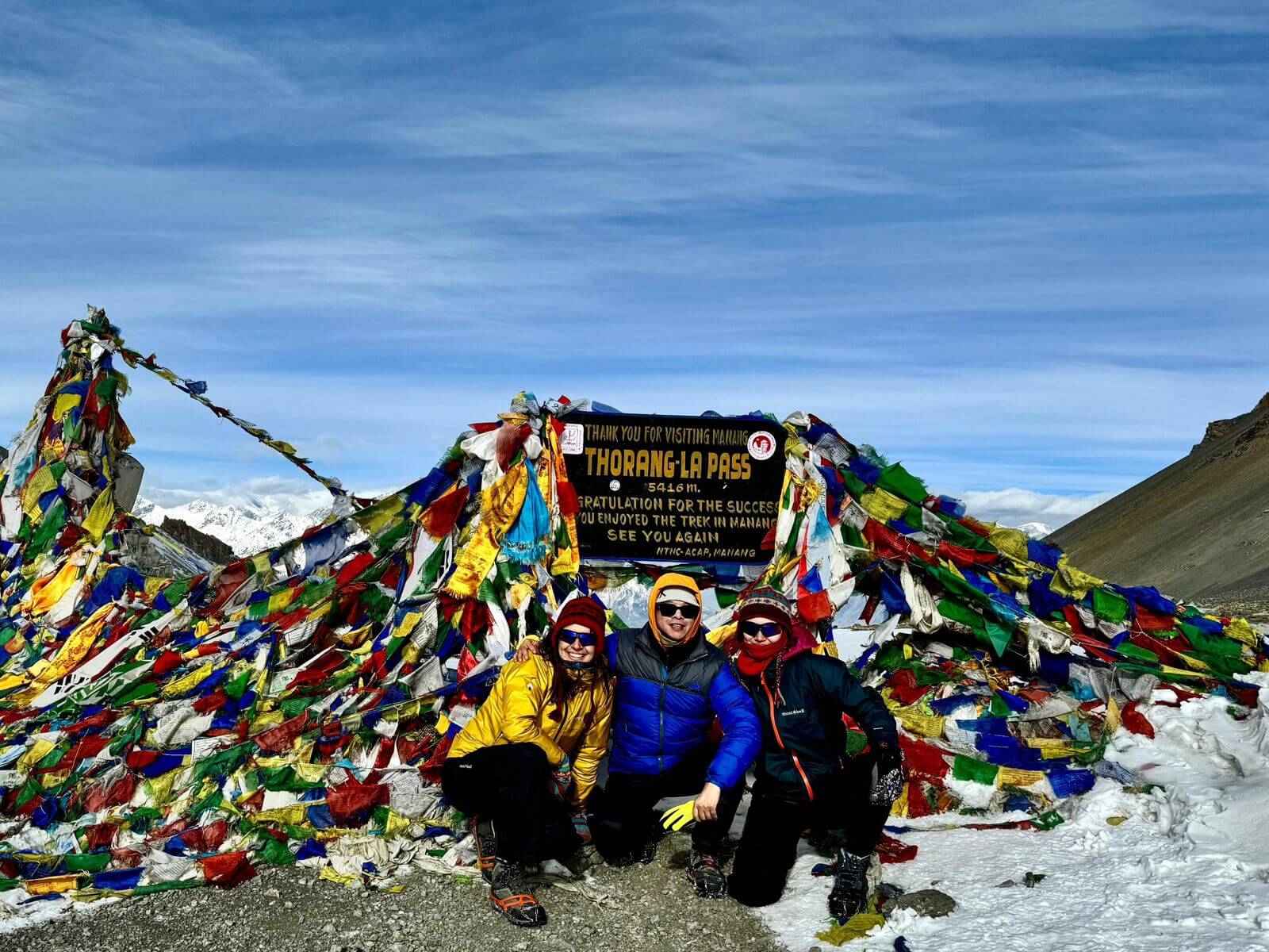
Go to LinkClassical Annapurna Circuit Trek 11 Days
Tuesday, 26th Mar 2024 - Friday, 5th, Apr, 2024
Go to LinkThrilling Everest Three Pass Trek
Saturday, 6th Apr 2024 - Monday, 22nd, Apr, 2024
Go to Link12 Days Everest Base Camp Trek Itinerary and Cost For 2024
Tuesday, 5th Nov 2024 - Saturday, 16th, Nov, 2024
Places of attractions, travel tips, news and more.

We will provide you with a last-minute booking for the Everest base camp trek a 12-day itinerary. Even more, we have experienced guide porters and…

Earning the label and maintaining the reputation for almost half a century as the world’s most celebrated trek, the Annapurna Circuit Trek has made the…

Overview Annapurna Base Camp is a popular trekking destination that takes you to the foothills of the eight-thousander. Similar to treks like the Everest Base…